Walk Portland
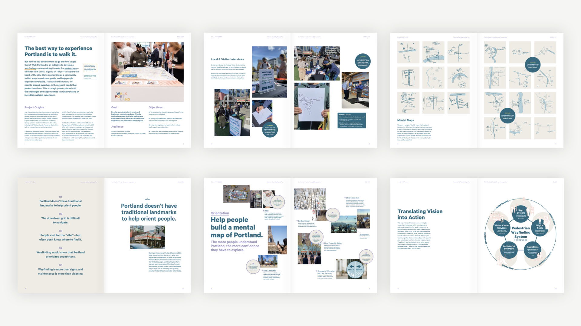
The best way to experience Portland, Oregon is to walk it. But how do people decide where to go and how to get there? Walk Portland is an initiative by Travel Portland, the Portland Bureau of Transportation (PBOT) and sparks+sullivan to develop a wayfinding system to make it easier for pedestrians—whether from Lents, Tigard, or Tokyo—to explore the heart of the city.
Agency
sparks+sullivan
Practice Area
Client
Travel Portland, Portland Bureau of Transportation
Industry

Project Background
This project represents Phase 1: a strategic plan for a comprehensive wayfinding system. Before designing and installing wayfinding tools, we wanted to connect as a community to find ways to welcome, guide, and help people experience Portland. To envision that future, we grounded ourselves in the present needs that pedestrians face, using human-centered design methods and community engagement strategies. The next phase, piloting the system, will take place in 2025, followed by implementation beginning in 2026.
The Challenge
The key to fulfilling this project’s objectives lied as much in the quality of the final recommendations as in the process to get there. Research set the stage for strategy. The team used a wide range of methods to better understand how people currently understand Portland, how they find their way through it, and the challenges in building and maintaining wayfinding systems. Speaking with tourists, locals, commuters, and business owners to name a few, the research prioritized methods that invited people to participate and collaborate. The success of the project depended on both meaningful collaboration and building enthusiasm among stakeholders, partners, and the public. The team made space for stakeholders and the public to contribute to the work by creating an installation that shared the research and values and invited participation. The interactive installation was originally planned for two weeks, and by popular demand was extended to one month. People are interested in pedestrian wayfinding and showed an excitement to participate with the exhibit:
- 2,055 people visited the Visitor Center during the exhibit
- 12 tours were conducted with city staff teams
- 60 locations were labeled by participants on the exhibit’s 3D map
- 82 comments were written on post-its by participants
- 158 sticker dots or “votes” were added to ideas that people liked
The installation was more than sharing research with partners and the public—it was a tangible experience that allowed people to interact and contribute. The enthusiasm that it generated surpassed all expectations. The reaction to and feedback from the installation directly impacted the recommended action plan—and accelerating a pilot project—to move this work forward with energy and enthusiasm.
Project Vision
The project approach enabled the team to find solutions beyond just signs, to imagine new approaches to historic barriers like maintenance and to ensure the wayfinding system genuinely serves the people who will use it. The framework for the plan includes signs, digital tools, visitor services, landmarks, and operations—ensuring the wayfinding system functions in an integrated and experiential manner. The project pilot incorporates elements from the framework’s topic areas so that elements from all of them can be studied and learned from. The final project book was designed to assist Travel Portland and PBOT in sharing the project with additional stakeholders and to seek funding for the pilot and implementation. Fundraising and grant applications are underway and the pilot is expected to be implemented in the summer of 2025.
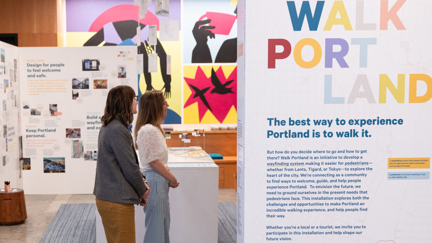
We located the installation in Travel Portland’s visitor center and created a “room” with walls that framed a table-top map and hanging mental maps.
Tom Cook Photo
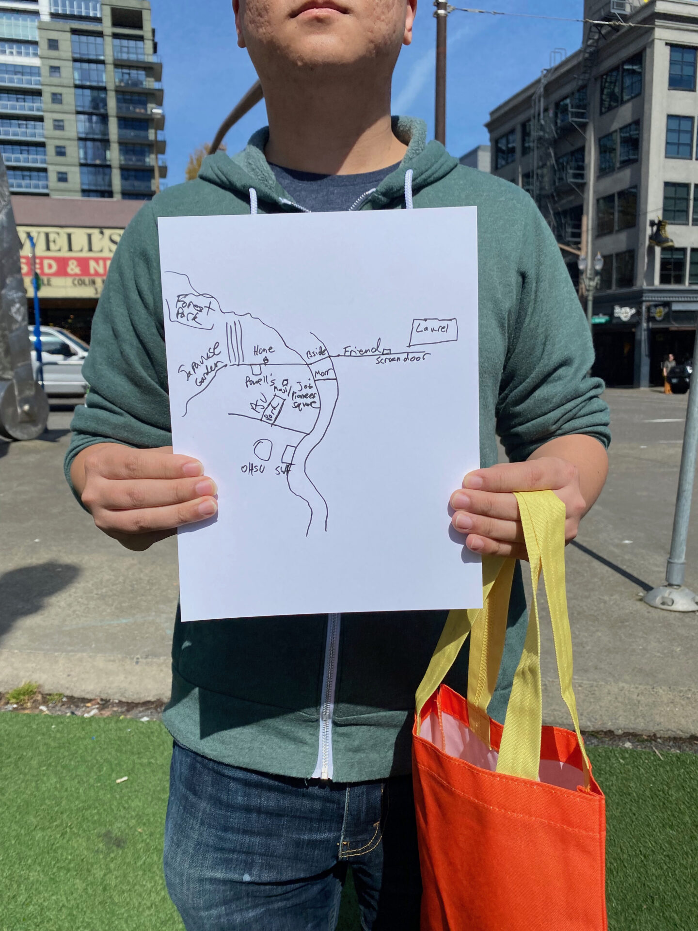
Research included intercept interviews with people walking downtown, during which they drew their “mental map” of Portland.

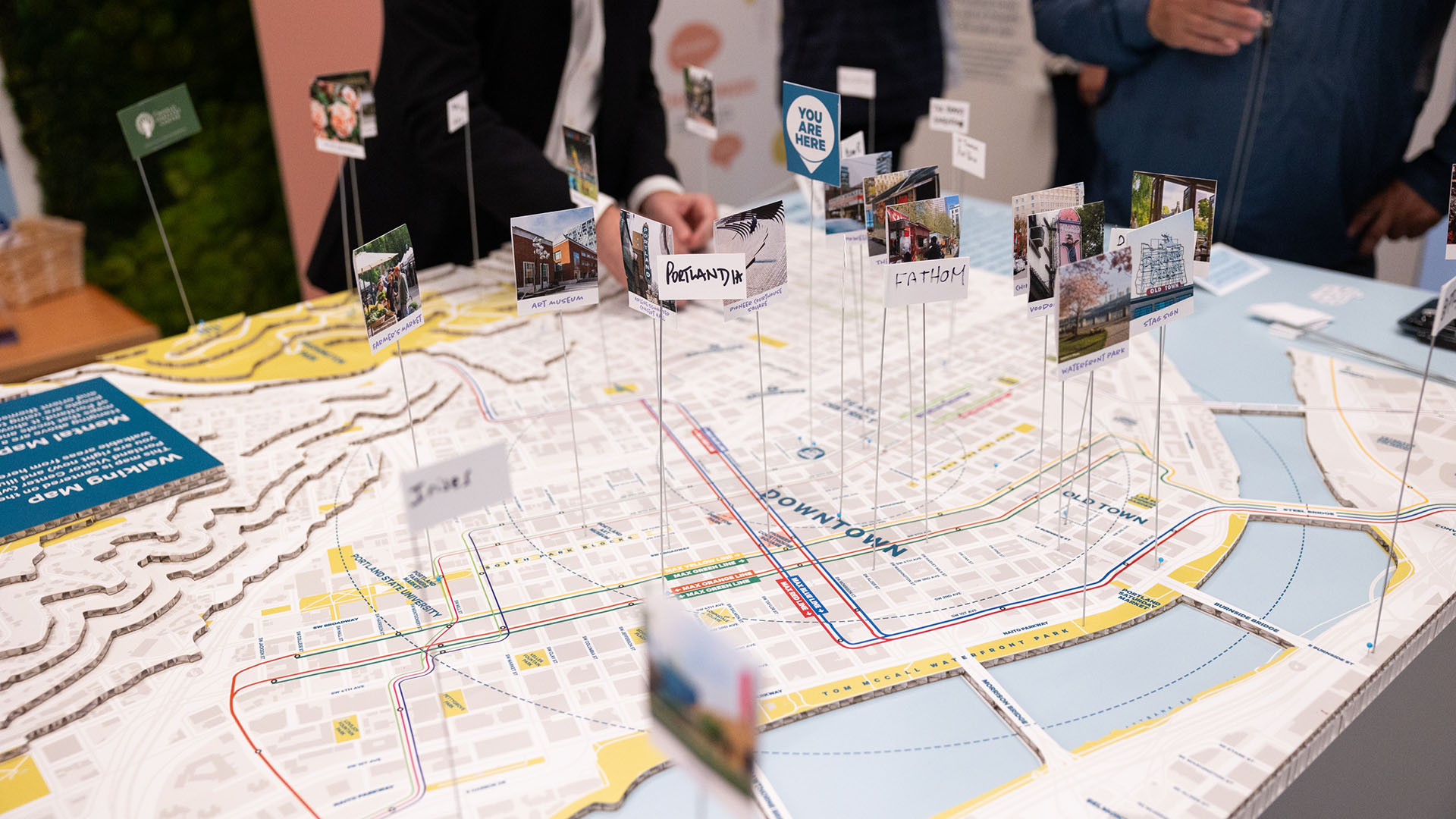
A table-top map of downtown Portland invited people to share their favorite landmarks and destinations.
Tom Cook Photo
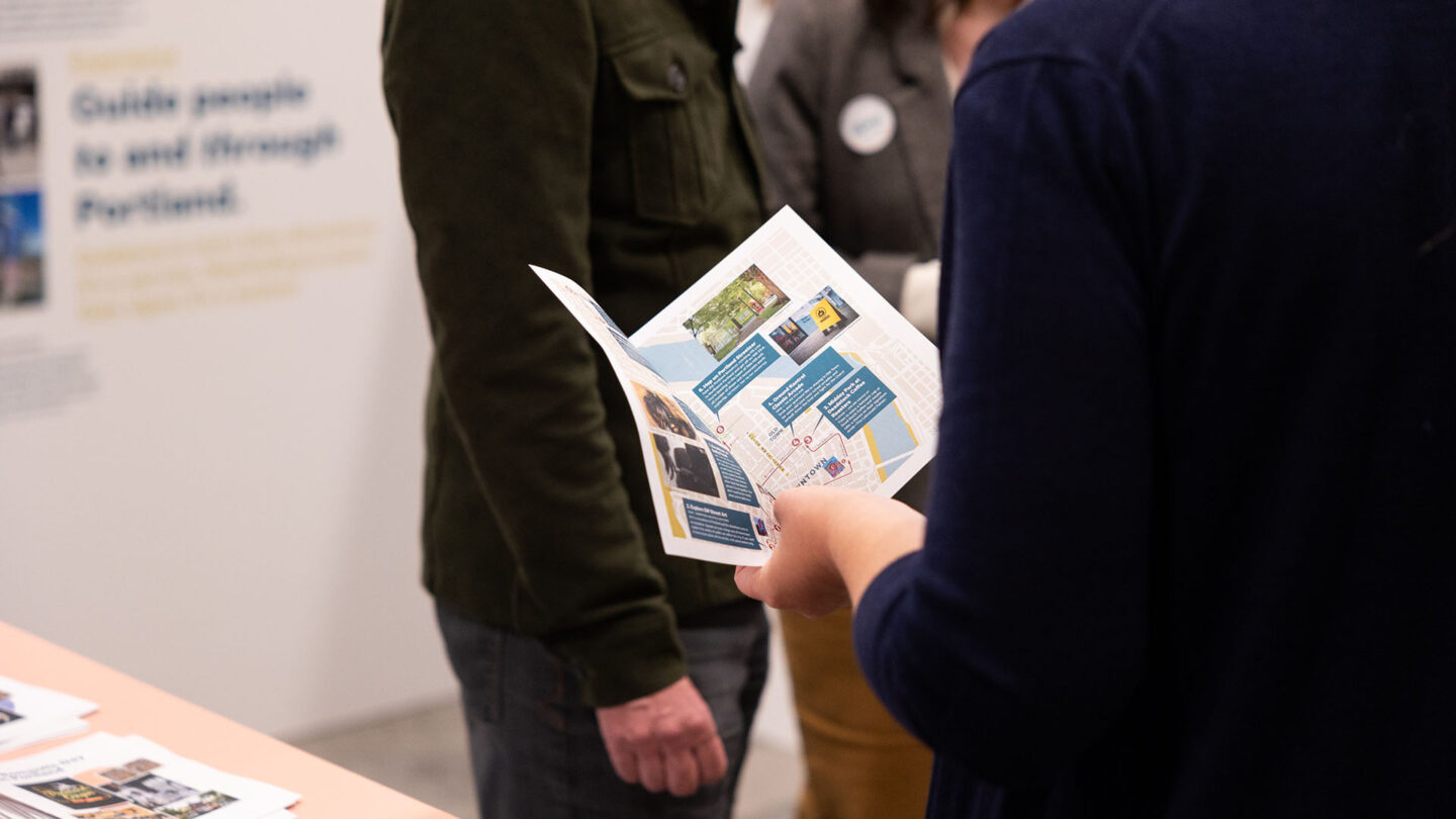
We worked with Visitor Center staff to prototype walking itineraries for downtown Portland.
Tom Cook Photo
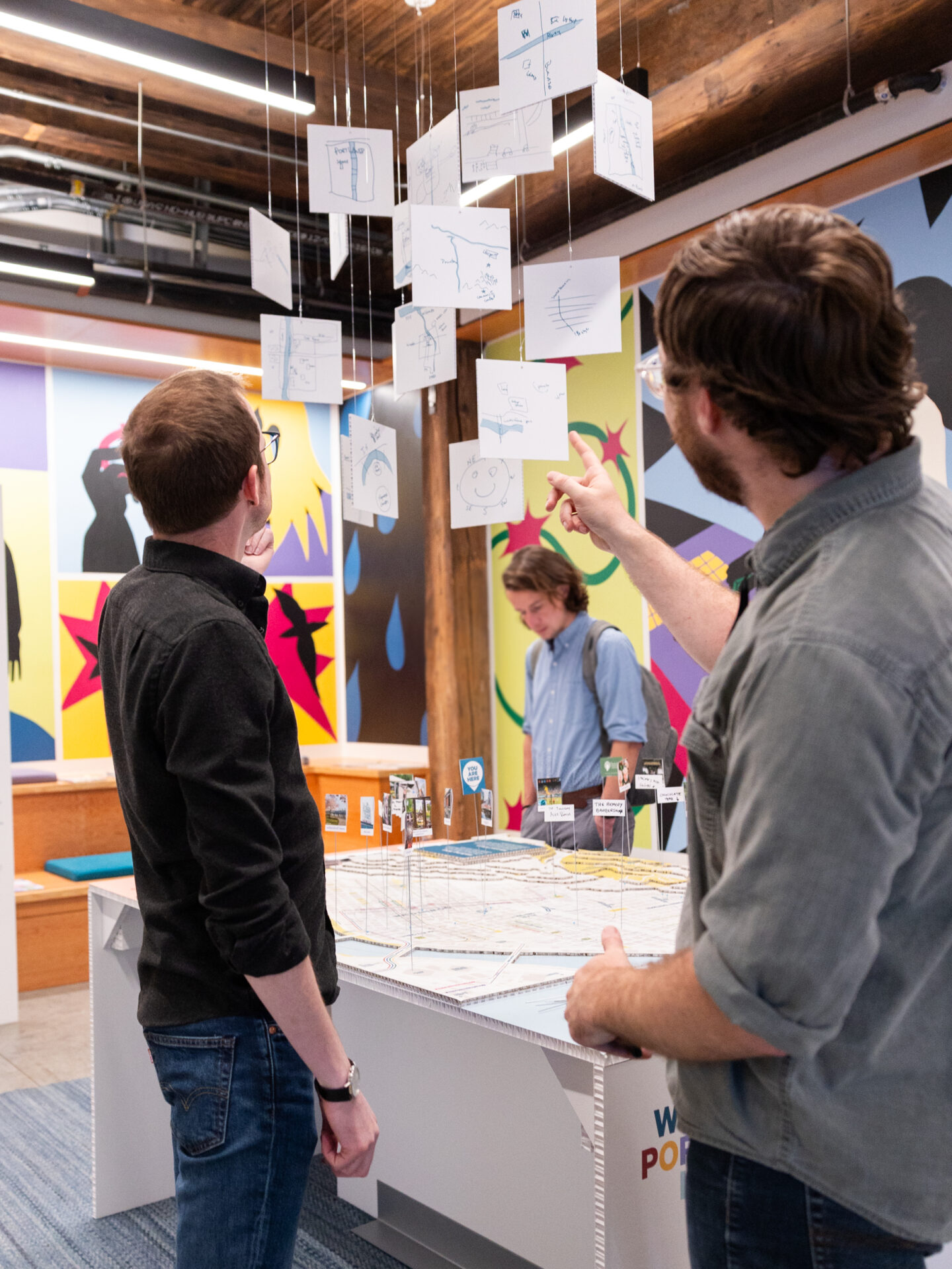
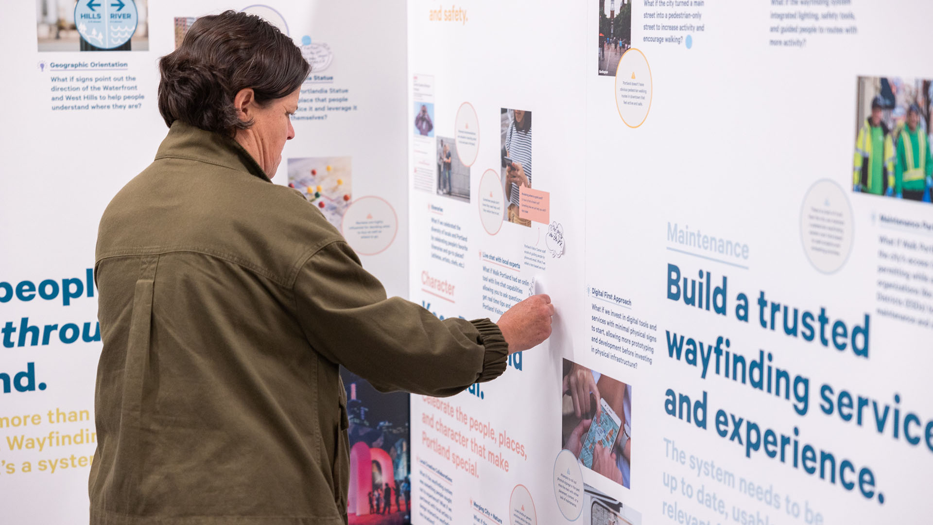
Mental maps from intercept interviews with pedestrians were hung over the tabletop map, inviting comparisons.
Tom Cook Photo

Participants shared their opinions and ideas using post-its, stickers and flags. The final plan integrated their feedback.
Tom Cook Photo

The project project book was designed to assist Travel Portland and PBOT in sharing the project with additional stakeholders and to seek funding for the pilot and implementation.


Project Details
Community engagement within urban processes are often fleeting and short lived steps to a larger effort. However, this installation extended critical conversations with accessible graphics and images that kept participants engaged, and the conversation flowing- which is what good design should do.
It’s great to see a wayfinding strategy and plan that’s so well executed and documents the complexities of engaging communities in the development.
Design Team
Gwen Sparks Sullivan (research and strategy)
Ryan Sullivan, (strategy and design)
Collaborators
PVS Graphics (physical fabrication firm)
Michael Cavanaugh
Sean Doyle
Gena Gastaldi
Billie Moser
Jennifer Parks
Photo Credits
Tom Cook Photo
Open Date
October 2024
More in Strategy/Research/Planning
All Projects-
Read more Taiwan Public Pictogram System (TPPS)
Taiwan Public Pictogram System (TPPS)
Path & Landforms -
Read more Walker Art Center Visitor Experience Research
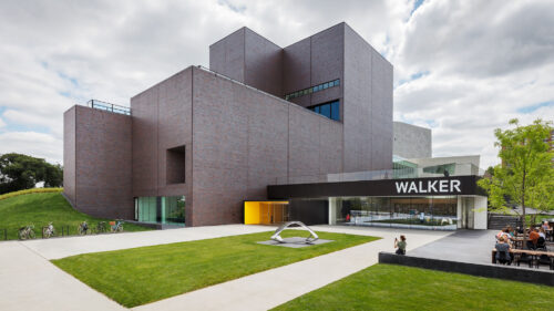
Walker Art Center Visitor Experience Research
HGA -
Read more WMATA Digital Wayfinding Manual
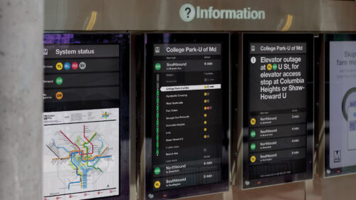
WMATA Digital Wayfinding Manual
Order, W&CO